Welcome To The Bitterroot River Landmarks Picture Tour
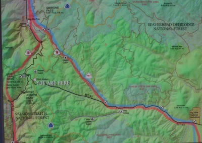
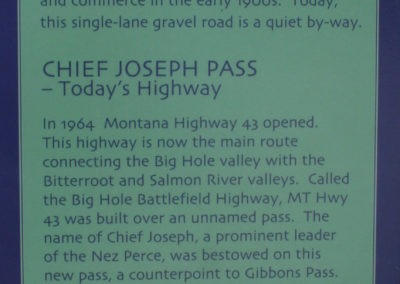
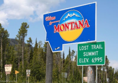
Let’s follow Highway 93 south from the Darby Bridge Fishing Access on the Bitterroot River to Como Lake, Sula, Montana and Lost Trail Pass. While we are in the area, let’s ride the single lane road over Gibbons Pass. Prior to 1964, travelers between the Bitterroot and Big Hole valleys cross the Continental Divide on the centuries old trail. The same trail was used by the Nez Perce in 1877, as they were being pursued by Colonel John Gibbon and his troops, hence the pass bears Gibbon’s name.
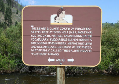
Try to make time to read the Historical Markers in Sula, Montana. You will see this area was a major thoroughfare through the mountains.
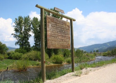
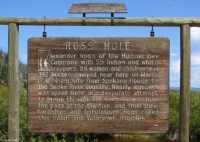
In 1824, Alexander Ross, a Hudson Bay trapper comes up the Bitterroot river from Hell’s Gate (present day Missoula). They traveled up the Bitterroot valley, through the Sula basin heading for the Snake river. Men, women and children in the party were stranded by snow in what came to be know as “Ross’s Hole”. They called the valley, “The Valley of Troubles.” Ross’s diary describes the trip, including the Medicine Tree on the East Fork.
In 1897, the the Bitterroot National Forest, comprised of 1,155,868 acres was created. It was one of the first National Forests to be created in the United States.

Recent Comments