Welcome to the Boulder Montana Picture Tour
NOTE: We shot some beautiful Boulder, Montana panoramas in June 2016. We will post the images of Boulder as soon as we finish editing the pictures.
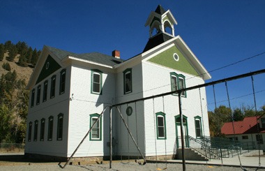
Named for the many large boulders in the vicinity, the town of Boulder Valley was established in the early 1860s as a stagecoach station on the route between Fort Benton and Virginia City. It later became a trading center for nearby agricultural areas and the Elkhorn, Comet, and Baltimore mining districts. The Great Northern Railway branch line from Helena to Butte reached Boulder in 1888. State schools for the deaf, blind, and developmentally disabled were established in the city in 1892. In 1897, the town’s name was shortened to Boulder.
Where’s Boulder Montana?
Boulder lies at an elevation of 4,990 feet (1,521 m) above sea level along Interstate 15 at its intersection with Montana Highway 69, about 35 miles (56 km) north of Butte, and 27 miles (43 km) south of Helena. The town is on the north bank of the Boulder River, a tributary of the Jefferson River.
Welcome To The Boulder Valley
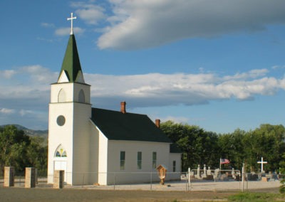
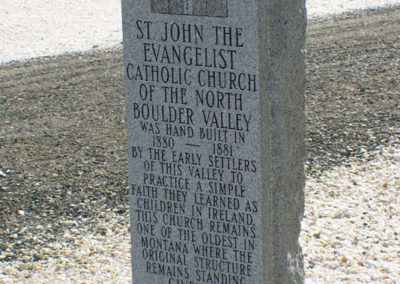
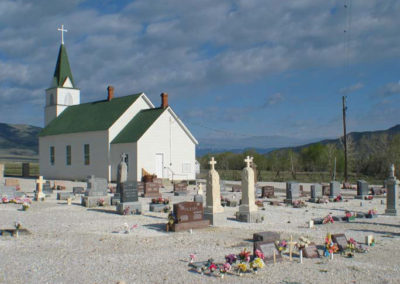
St John Evangelist Catholic Church of the North Boulder Valley – Was built in 1881 by Irish Settlers. The location features a European Style Cemetery located directly behind the church. In the 1970’s the building’s sole source of heat, a free standing wood burning stove was stolen. We hope by posting the news of this theft maybe the stove will be returned by someone with a guilty conscience.
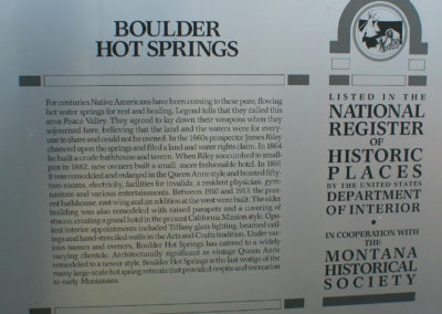
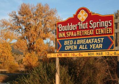
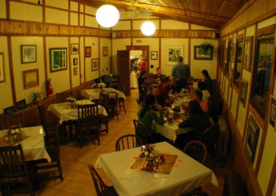
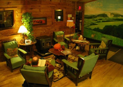
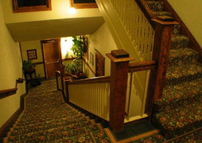
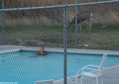
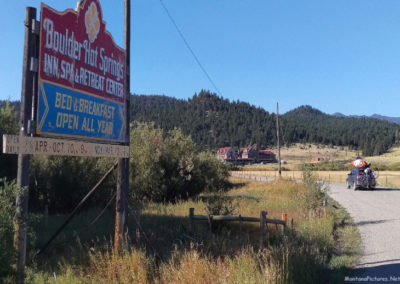
Boulder Hot Springs – For Centuries Native Americans have been coming to the pure, flowing hot geothermal water springs for rest and healing. Legend tells that they called this area the Valley of Peace. In the 1900’s the area became a resort and spa for Helena and Butte’s wealthiest families. Disaster struck when the building covering the heated pool collapsed during the earthquake of 1935. After decades of quakes and ownership changes this renovated and redesigned resort offers relaxing hot springs just right for swimming and soaking.
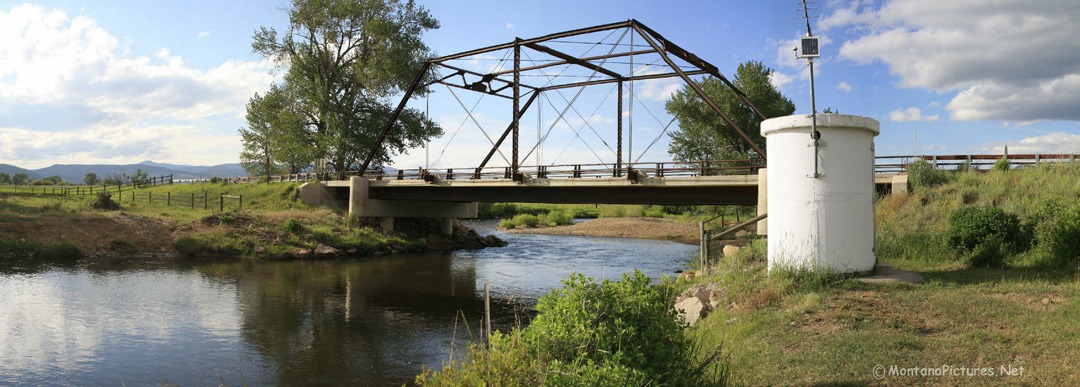
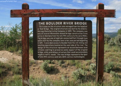
The Unknown Boulder River – There is a famous Boulder River that begins in the Absaroka Mountains, and flows due north towards its confluence with the Yellowstone River at Big Timber, Montana. The Unknown Boulder River is a 78 mile long river that runs south along Highway 69 past the town of Boulder towards the Jefferson River. Hard rock mining for metallic minerals in the Boulder River drainage was extensive in the late 1800s and early 1900s. This past mining is still affecting the river downstream from Basin, Montana where heavy metals emanating from acid mine seeps and mill tailings cause a major water quality problem. The good news is, you can still find westslope cutthroat trout, mountain whitefish and nonnative species such as the rainbow trout, brown trout, brook trout, and common carp.
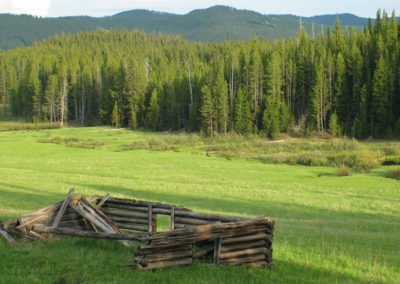
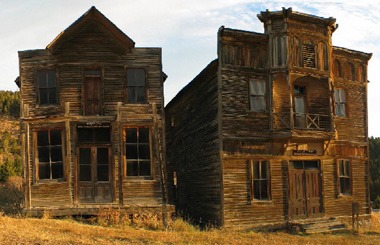
Ghost Towns, Fire Lookouts and Log Cabins – The surrounding hills are peppered with old miners cabins and Ghost Towns. To see relatively intact log cabins start in the Ghost Town of Elkhorn, Montana and hike towards Crow Peak (9,414 ft). To see old steam baths, miner cabins and abandoned mines begin in Basin, Montana and hike up Uncle Sam Gulch. Sorry, you are a little late visiting a Fire Lookout in this area. The Jack Mountain Fire Lookout near Basin, Montana was built in 1965 and was torn down in 2011. There are pictures of the 53-foot tall tower in the Basin, Montana Picture Tour.

Recent Comments