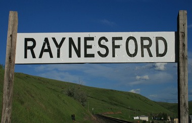
Welcome to the Raynesford, Montana Picture Tour
You get a sense how BIG the state of Montana is when you ride east of Great Falls, Montana and suddenly realize that you need to drive almost two MORE hours (104 miles) on Highway 200 to reach the geographic center of the state, in Lewistown, Montana. Along the way you will pass unincorporated Montana communities and towns that we find fascinating. Typically, you see a church or two, some horses, dozens of antique vehicles and three or four dozen well kept neat homes.
Visitors coming from large urban areas discovering the little towns in the Judith Basin immediately ask, how did this town come into existence? What do people do for work and play? What is like to live in such a rural area?
Let’s begin exploring the Montana towns found along Highway 200 from Belt, Montana to Lewistown, Montana. First stop, after the Armington Junction is the pretty little town of Raynesford, Montana. You can stretch your legs by making a loop from St. Mary Church walk to Highway 200, walk west, then turn north over Big Otter Creek to the Raynesford Elementary School and back to the church.
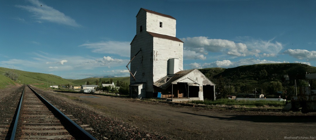
The Grain Elevator Says: Montana Elevator Co.
The Montana Elevator Company, was founded in 1904 as a wheat farmer co-operatives for Montana with their first elevator in Lewistown, Montana built in 1904.
Raynesford, Montana origins
The homesteading boom from 1908 to 1915 and the extension of the Great Northern Railroad played an important role in the development of this area. Raynesford takes its name after the woman who ran the local boarding house for the railroad crew while the line was being built.
St Mary Church in Raynesford, Montana
St Mary’s church has new stained glass windows in honor of their long-time go-to priest, Father Francis McInnis. McInnis was of Irish heritage who grew up on the family homestead on the southern slope of the Highwood Mountains between Raynesford and Geyser, Montana.


