Welcome to the Ryegate Montana Picture Tour
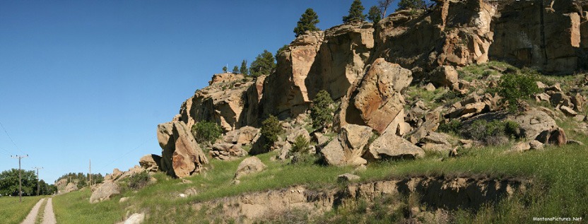
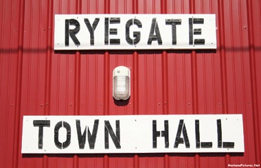
The town of Ryegate, population 233, sits on Highway 12 between the picturesque sandstone rim rock to the north and the historic Musseshell River to the south. It is one of the only two incorporatted communities in the sparsley settled Golden Valley County. North of Ryegate you’ll find the county is predominately stock country and is liberally sprinkled with sagebrush and greasewood from the river to the base of the Snowy Mountains. At one time during the homestead days, much of the land was broken by plow and farmed. The ground proved to be nonproductive as farm land. It does provide excellent rangeland. Many large sheep and cattle ranches occupied this area at one time, but now most of the sheep enterprises have turned to cattle ranching.
South of Ryegate and the Musselshell river youl find much of the bench land is farmed. Wheat is the main grain crop along with oats and barley. Golden Valley County was named because of the great expectations of this area as a grain-growing agricultural region. One area in paticular, located six miles south of town, call the Big Coulee (pictured in Highway 300 Section below) drew many settlers to the area.
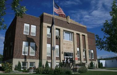
Ryegate has the distinction of the being the site of the last hangings in the state of Montana. In the spring of 1938 a rancher murdered two of his ranch hands and also killed a deputy sheriff in a genuine “gun battle,” reminiscent of the old west. In December of 1939 the rancher was hung from gallows erected on the courthouse lawn in Ryegate.*
*http://www.co.golden-valley.mt.us/html/history.html

DEADMAN’S BASIN RESERVOIR
People ask: “Where do you stay overnight when you are exploring Montana?” The answer is easy, we pop the tent and fire up the gas stove anywhere the landscape or wildlife looks interesting. Deadman’s Basin on Highway 12 west of Ryegate is just such a place. The 1954 acre reservoir offers a restful, secluded oasis where you can stop and prepare for the next day of adventure. The campground consisting of 25 Spartan campsites (pictured) tucked away on the SW shore in a ravine that protects you from the prevailing wind blowing from the west. It’s a quiet place to listen the shore birds, watch a shimmering aurora or be humbled by the vast night sky above.
We promised you would see a slower paced, rural side of Montana by traveling Highway 12 and Deadman’s Basin just a colorful example. The book “Montana Place Names: From Alzada to Zortman” by the Montana Historical Society reads: According to legend, a horse thief in the 1860s was strung up when members of a local vigilance committee found several different brands among his herd.
Located just over an hour from Billings you are bound to see fishermen year round. In the Winter, anglers try their luck snagging Koakanee Salmon as they huddle in their ice shelters safe and warm from the icy wind. In the Summer months, on peaceful calm days, you can catch Trout, Burbot, Channel Catfish, Lake Chub and Sunfish. What ever outdoor activity you plan to do at Deadman’s Basin keep an eye on the weather forecast. High winds can make the glass smooth water surface a choppy whiteknuckle dash for the shore. As always be safe, we don’t the reservoir renamed after you as a memorial.

Highway (Sort of) 300
Want some adventure? Ride the gravel road called Highway 300 between Rygate and Rapelje Montana. Traveling northwards from Rapelje towards Rygate is the most dramatic direction. Don’t worry the road is well marked and the views are immense. You start with in the flat agricultural area north of Rapelje and gradually climb north. You will pass Locomotive Butte, the old schoolhouse on the 79 Ranch and miles and miles of the “Big Sky” Montana is famous for. Below are images of the view from Highway 300 that were photographed during the month of January.



Recent Comments